
Accessing the Refuge
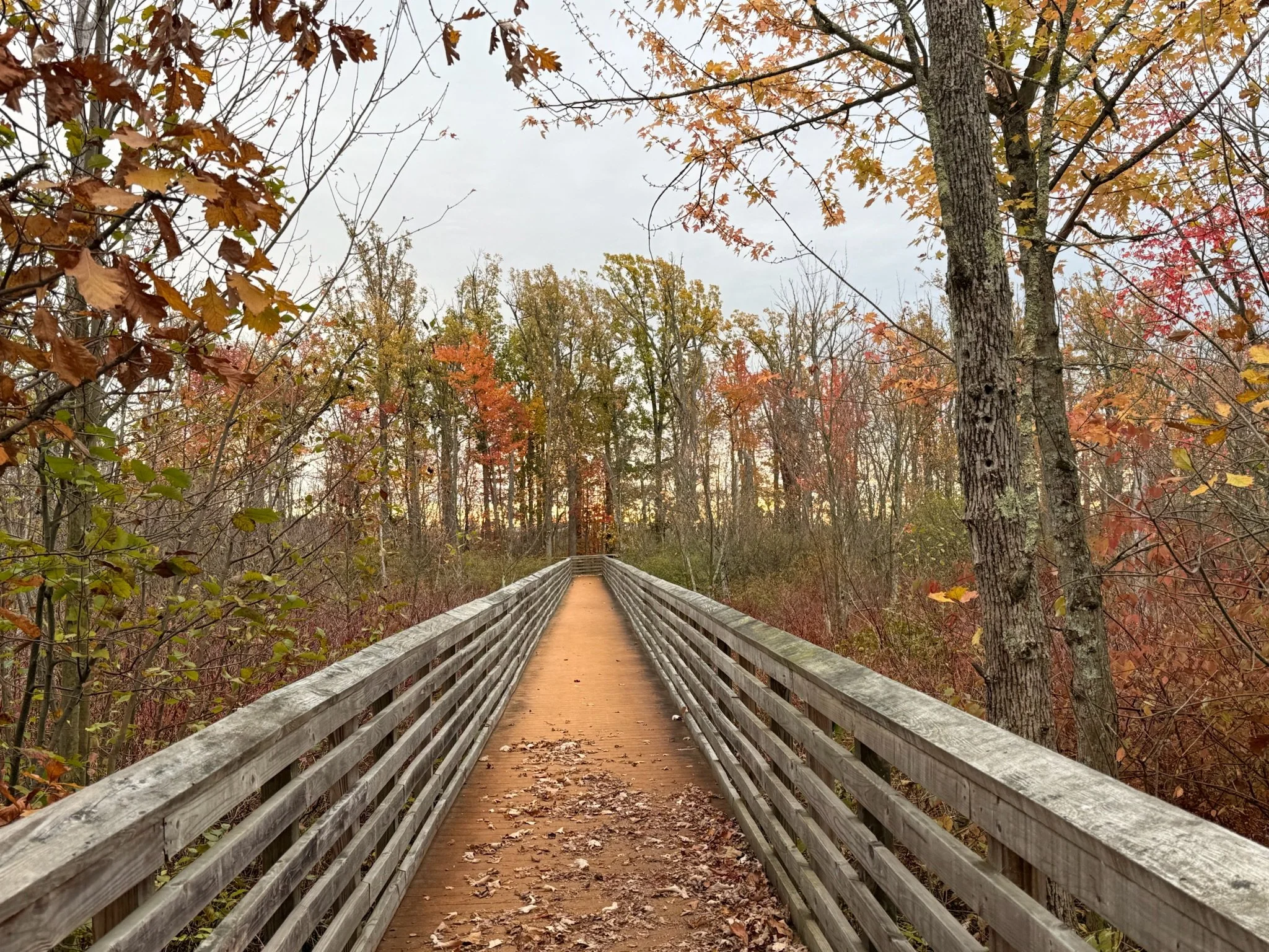
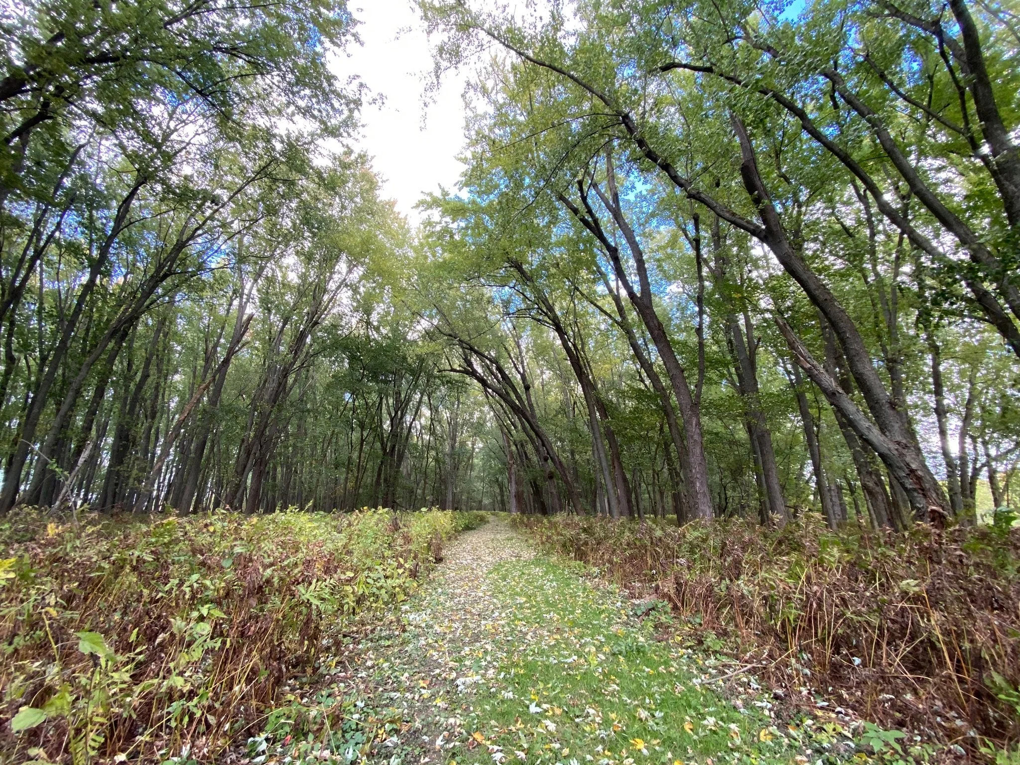
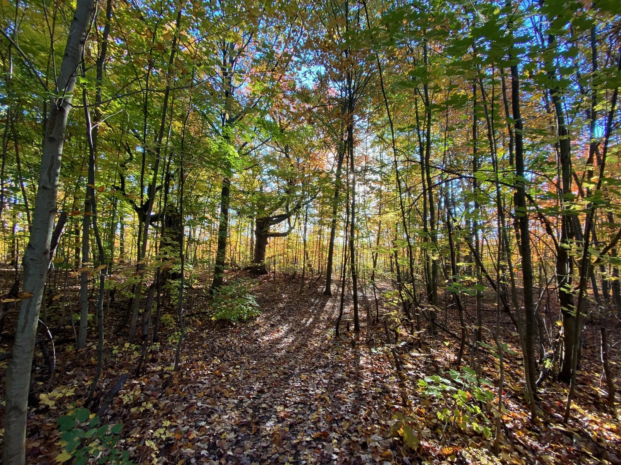
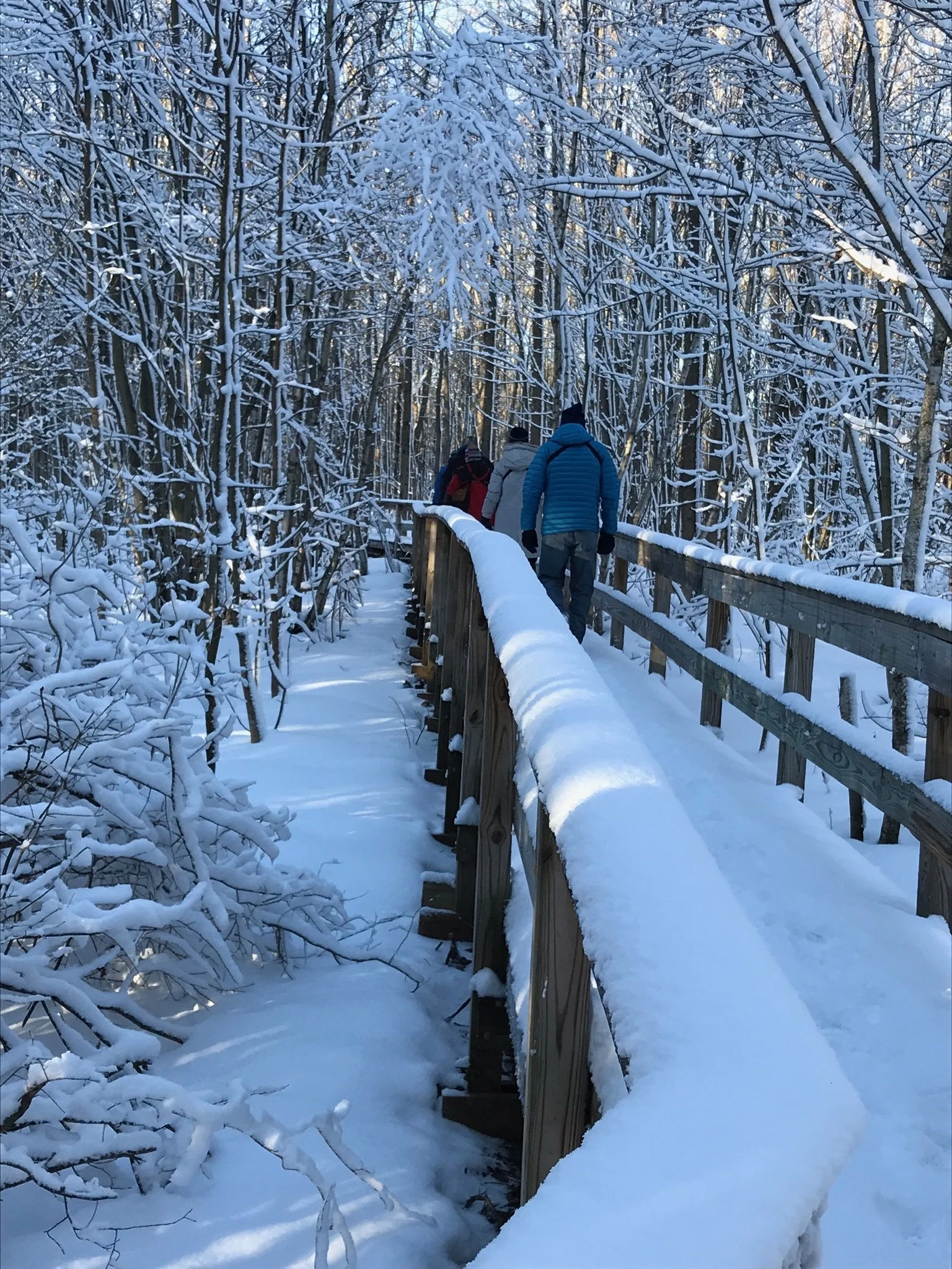
The Missisquoi Refuge offers some excellent trails for walking, snowshoeing and cross-county skiing.

Click map for larger view
The Refuge
Trail Challenge
Hike all 5 trails on the refuge and earn a trail patch!
How it Works
While exploring each trail, be on the lookout for a small wooden box. Take a photo that shows the card on the outside of the box or the card from the inside of the box. The photo can just be a selfie (preferred) or just the card itself.
When you have taken photos showing all five cards, email them to trailcards@friendsofmissisquoi.org to receive your patch.
Good luck on your Trail quest!
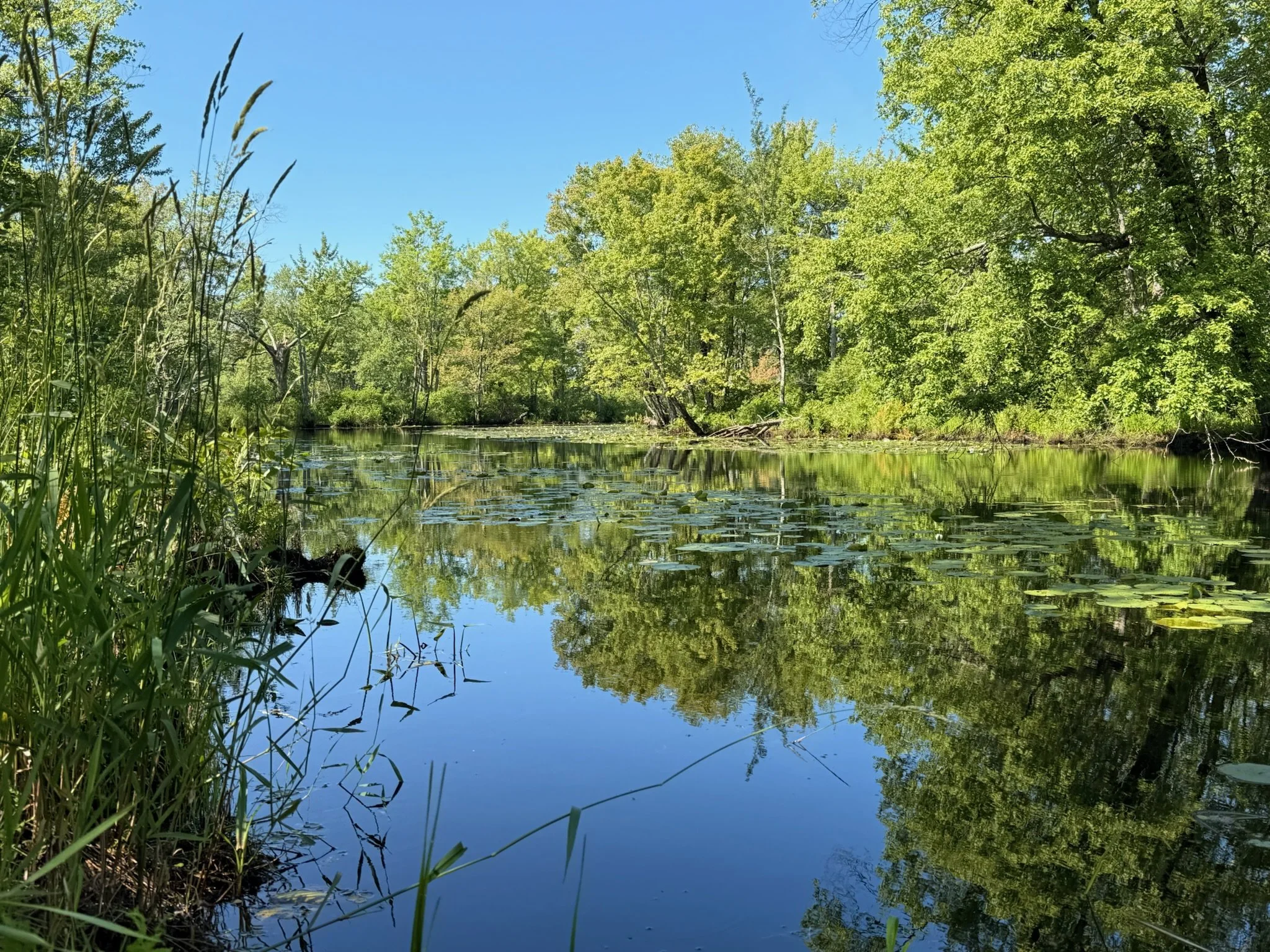
Accessing the waterways
Navigating the waterways of the Missisquoi NWR is perhaps the best way to take in the refuge. The river is open to paddlers as well as small motorized watercraft. Year-round access to the Missisquoi River is found at the boat launch at Louie’s Landing located on Route 78. The Mac’s Bend boat launch, located at the end of Mac’s Bend Road, is only accessible from September through December.
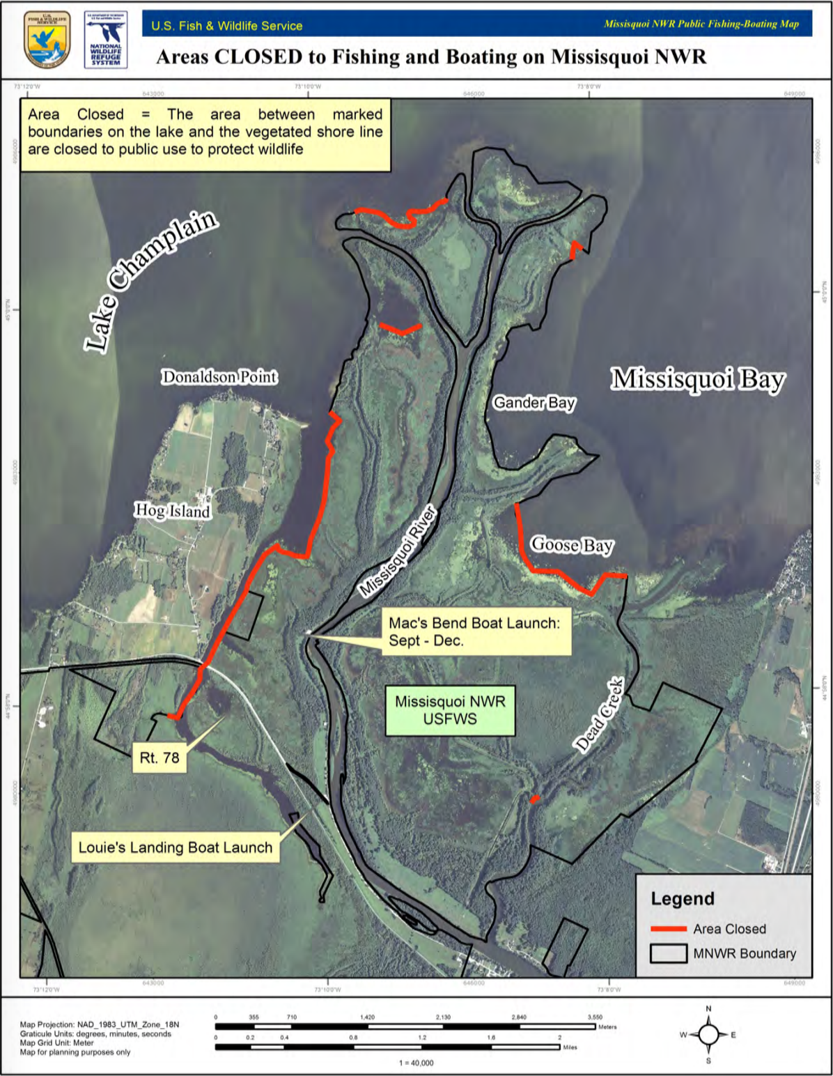
Click map for larger view
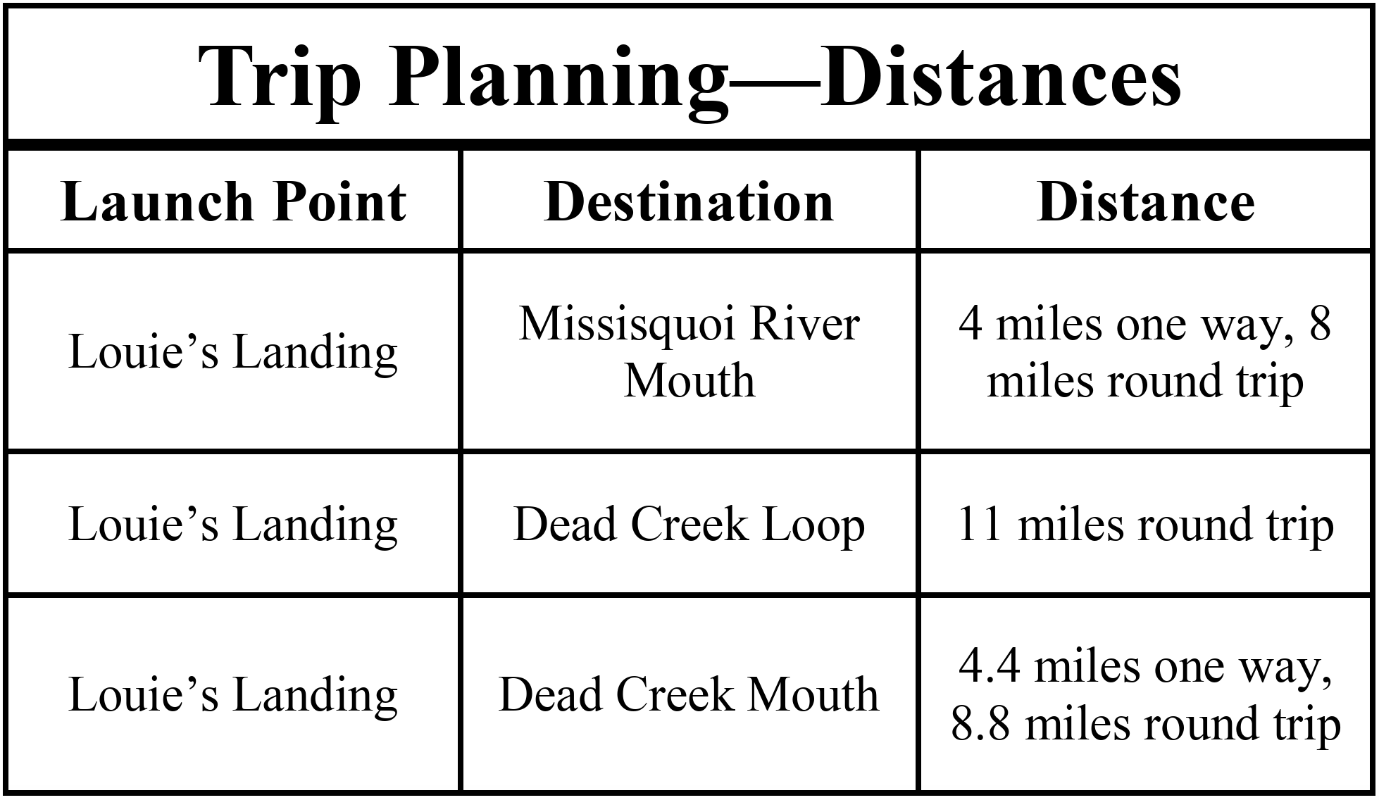
Paddlers and boaters can access the Missisquoi delta and Lake Champlain via the Missisquoi River or Dead Creek. Approximate distances are listed below.
When boating, please be respectful of the Refuge’s “AREA CLOSED” signs. These are posted in sensitive areas to give wildlife the undisturbed habitat it needs to thrive. Please see the Missisquoi Boating Guide for more information.